Geological Mapping
Geological mapping studies are carried out within the scope of scientific-academic report with competent personnel and project or license scale producing answers to the question “Does my license area contain ore?“. The accuracy of the geological map is the basic building block of the project. Academic reports prepared within the scope of rapid, cost-effective and result-oriented geological mapping studies play an effective and reliable role during license purchase / sale / transfer transactions.
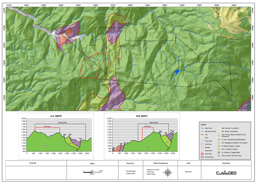
We guarantee to determine if there is a mineralization with economic value in your license area. In the present study content, the characteristics of all lithologies found in outcrops according to the study scale, contact boundary conditions, mineralogical compositions, measurements of structural elements, spatial propagation of ore and wall rocks and their relations with each other are explained. In addition to this, the data observed in the field is compared with the remote sensing data obtained from the satellite image by matching with each other and the target area contraction is made quickly.